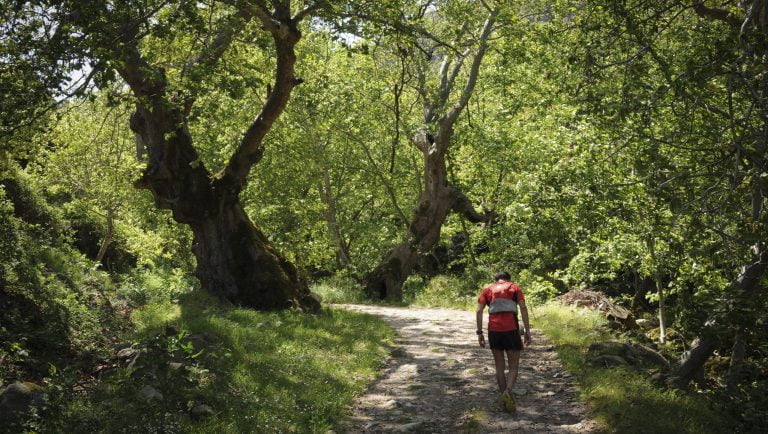
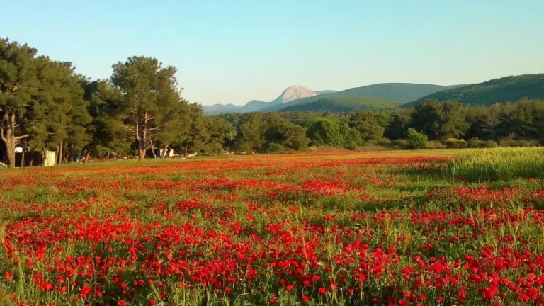
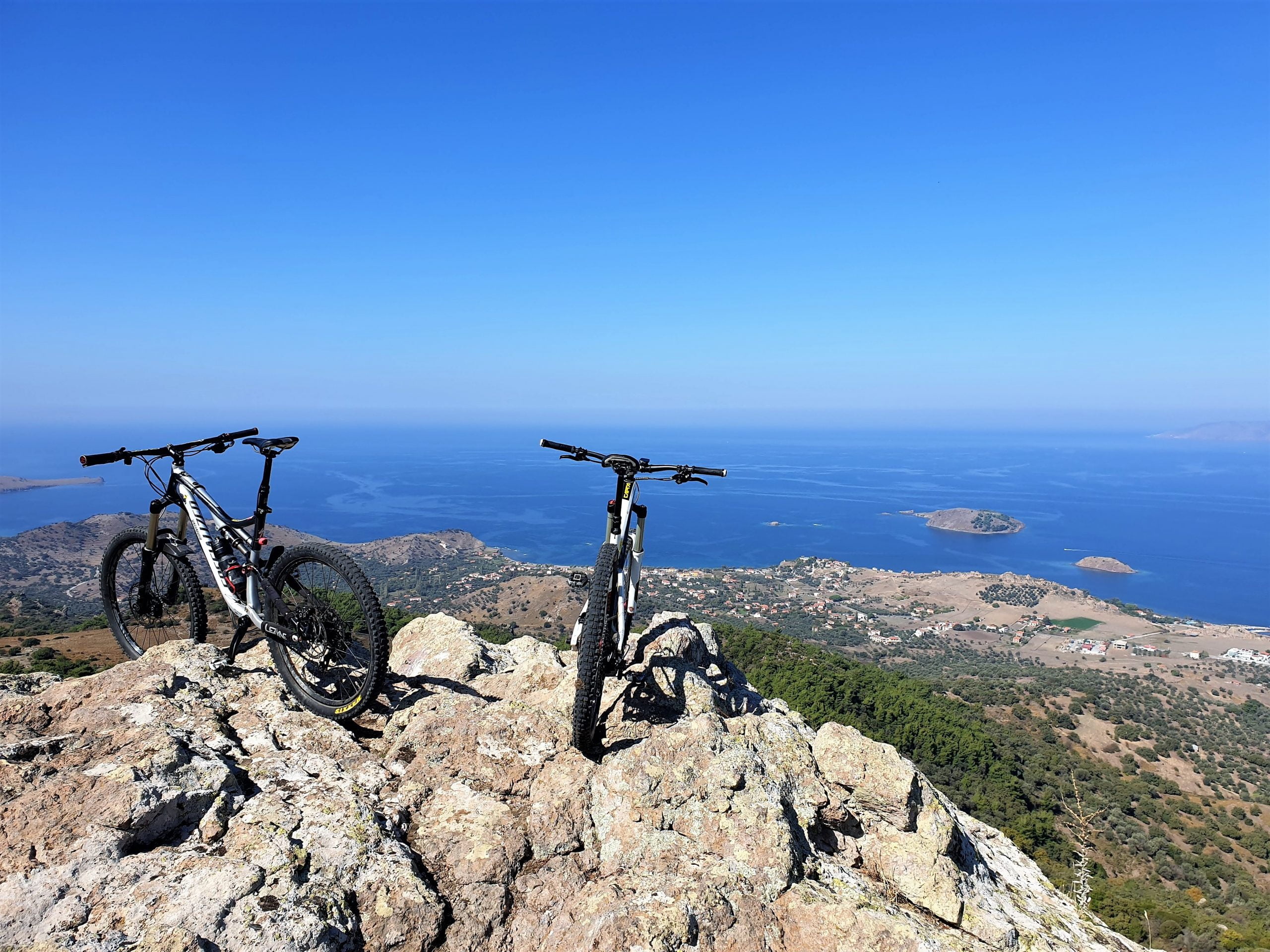
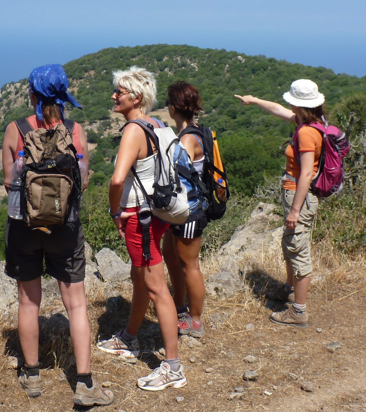
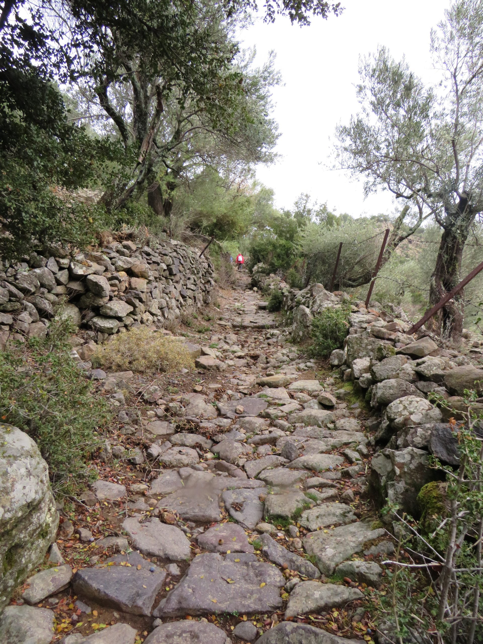
Lesvos can be justifiably considered a hiker’s paradise. Its abundant natural beauty spots, scattered cultural monuments, spectacular views over the Aegean Sea and the shores of Asia Minor, but mainly a network of signposted trails make Lesvos an ideal destination for hikers. Information boards, observation towers and kiosks for hikers to rest, complement the signposting of the trails and enrich the island’s routes. There are routes of ecological interest to follow, or routes through the agricultural landscapes and the geological sites as well as cultural routes through traditional customs.
There are treks of different difficulty levels which can satisfy even the most experienced hikers. (The material on the trails of Lesvos was drawn from the publication co-funded by the Lesvos Local Program LEADER+ in the framework of Measure 1.3.3.2 Information-Awareness.Title: Promotion actions for the walking trails network of Lesvos by Lesvos Local Association of Municipalities and Local Development Company of Lesvos Island (ETAL S.A).)
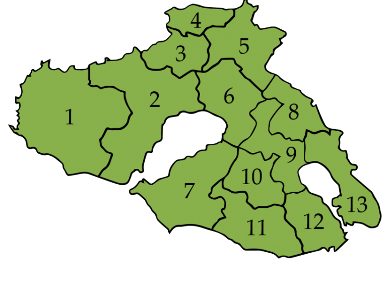
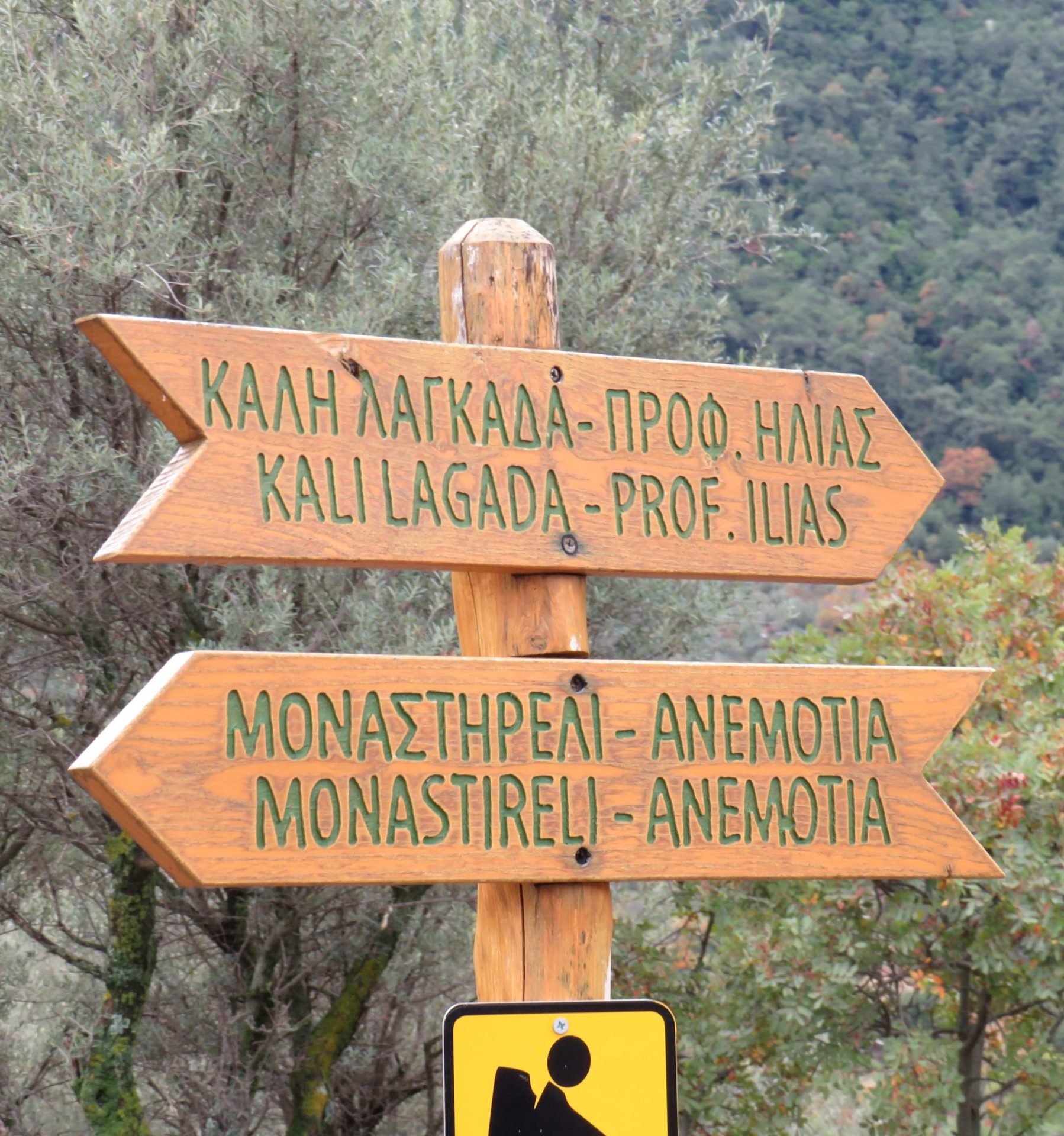
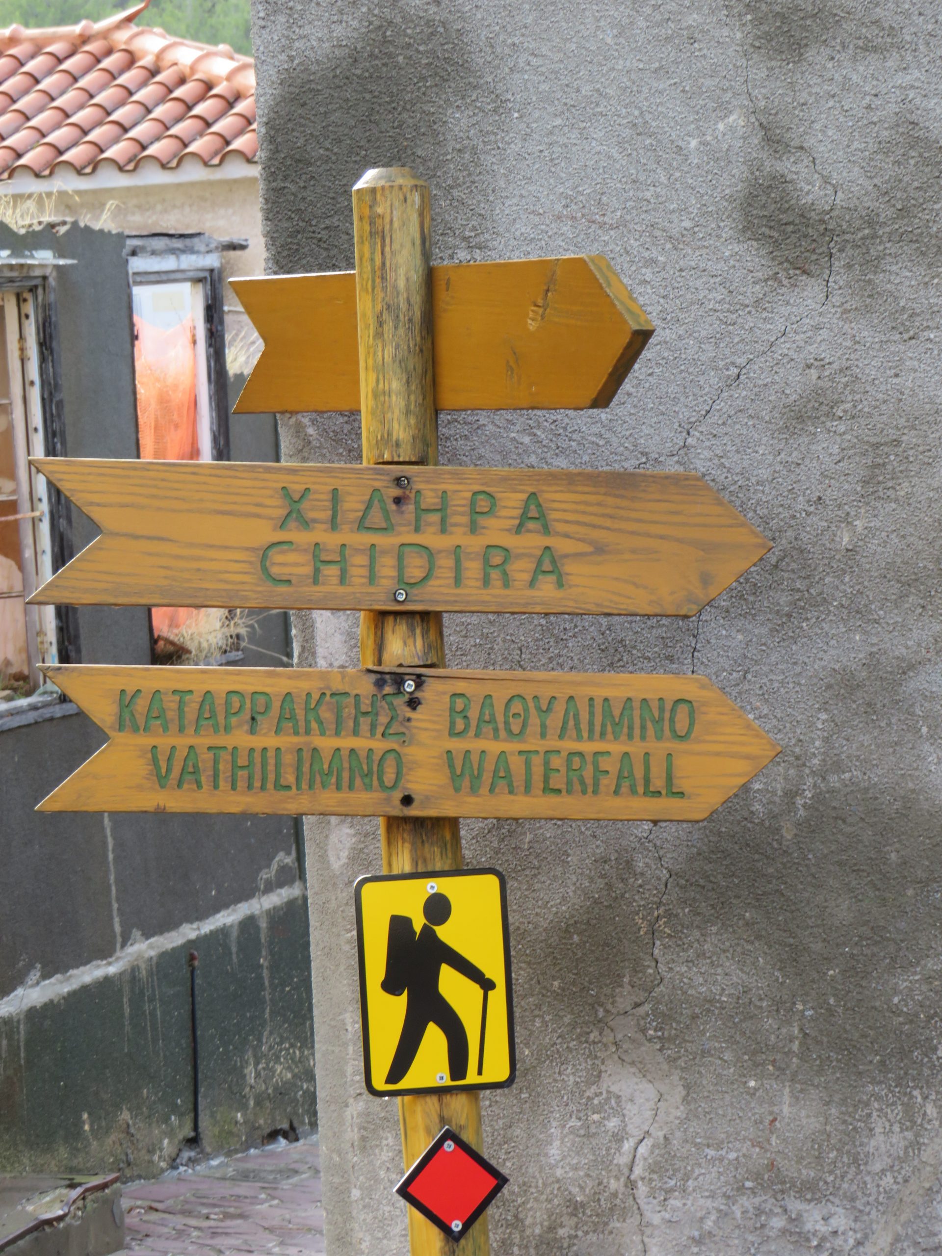
The course of the hiker is signposted by red diamonds at visible spots and by Orestes, the yellow and black hiker. Of the trails recommended below only few are not signposted, but this should not stop you following them. The name of the municipality is stated next to the name of the trail, in order for hikers who are not familiar with the geography of the island to easily locate the trail on the map of Lesvos.
Prophitis Ilias – Ano Kampos (Municipal Sector of Mantamados). The trail starts from the church of Prophitis Ilias at the top of Lepetymnos, on the plateau of Ano Kampos, at an altitude of 756 m. It’s an easy trail through oak trees. The first 1600 m are downhill, but then there is a steady slightly uphill route. The gradient between the lowest and the highest point of the trail is about 230 m., and hikers can choose where they would like to start from.
Pelopi – Ano Kampos (Municipal Sector of Mantamados). The trail is about 2.65 km long; it starts at the hamlet of Pelopi and ends at the plateau of Ano Kampos, at an altitude of 756 m. It’s an uphill trail along the bed of the Ligona stream, ending after 1.7 km at Monoplatanos location. It then goes up a steep slope with low vegetation to the plateau of Ano Kampos. The gradient between the lowest and the highest point of the trail is about 369 m., and it is advisable to follow the downhill route.
Lepetymnos – Sykaminia (Municipal Sector of Mithimna). From the main road, a short distance from the hamlet of Lepetymnos, starts a 3.15 km trail ending at the hamlet of Sykaminia. It is a very easy, paved trail with dense vegetation, descending for the first 1600 m and then following a smooth uphill course. The gradient between the lowest and the highest point of the trail is about 137 m., and hikers can choose where they would like to start from.
Krita – Sykaminia (Municipal Sector of Mithimna). Krita spring, at an altitude of 505 m, constitutes the starting point of this trail, which, after a course of 2.5 km, ends at the hamlet of Sykaminia. The trail starts following a downhill course on a rural road along the bed of a stream, and after 700 m it goes uphill through low vegetation and olive groves. The trail is very steep before the hamlet of Sykaminia. The gradient between the lowest and the highest point of the trail is about 213 m., and due to the terrain roughness it is advisable to follow the downhill route.
Petri – valley and springs of Ligona (Municipal Sector of Petra). The trail is approximately 2.4 km long, and starts at the hamlet of Petri, at an altitude of 214 m, where the view over Petra and Molyvos is quite impressive, especially in the afternoon. For the first 1600 m., the trail follows a smooth slightly uphill course to the north through low vegetation, until it finally reaches an altitude of 250 m. This location affords an excellent view over Ligona valley, scattered with water mill ruins; the mills were active when the river was filled with water. Then the trail goes downhill along the cobblestone road used in the past by the millers, and comes to the bed of the river at 162 m above sea level. From this point on, hiking is uphill through dense plane trees to the springs of the River Ligona, at an altitude of 264 m. The gradient between the lowest and the highest point of the trail is only 100 m., and there is only one direction, the one from Petri to the springs of the Ligona River.
Sigri – Eressos (Municipal Sector of Eressos-Antissa). The trail starts at the geological park, next to the Natural History Museum of Sigri village; it follows a 14.2 km dirt road and, after passing through Plaka Geological Park, ends at the hamlet of Eressos. It is a bare trail which, nevertheless, offers hikers variety, since uphill and downhill segments alternate affording spectacular views, especially at the highest point at 198 m, 10.6 km from Sigri. The gradient between the lowest and the highest point of the trail is about 170 m., and hikers can follow the trail in either direction.
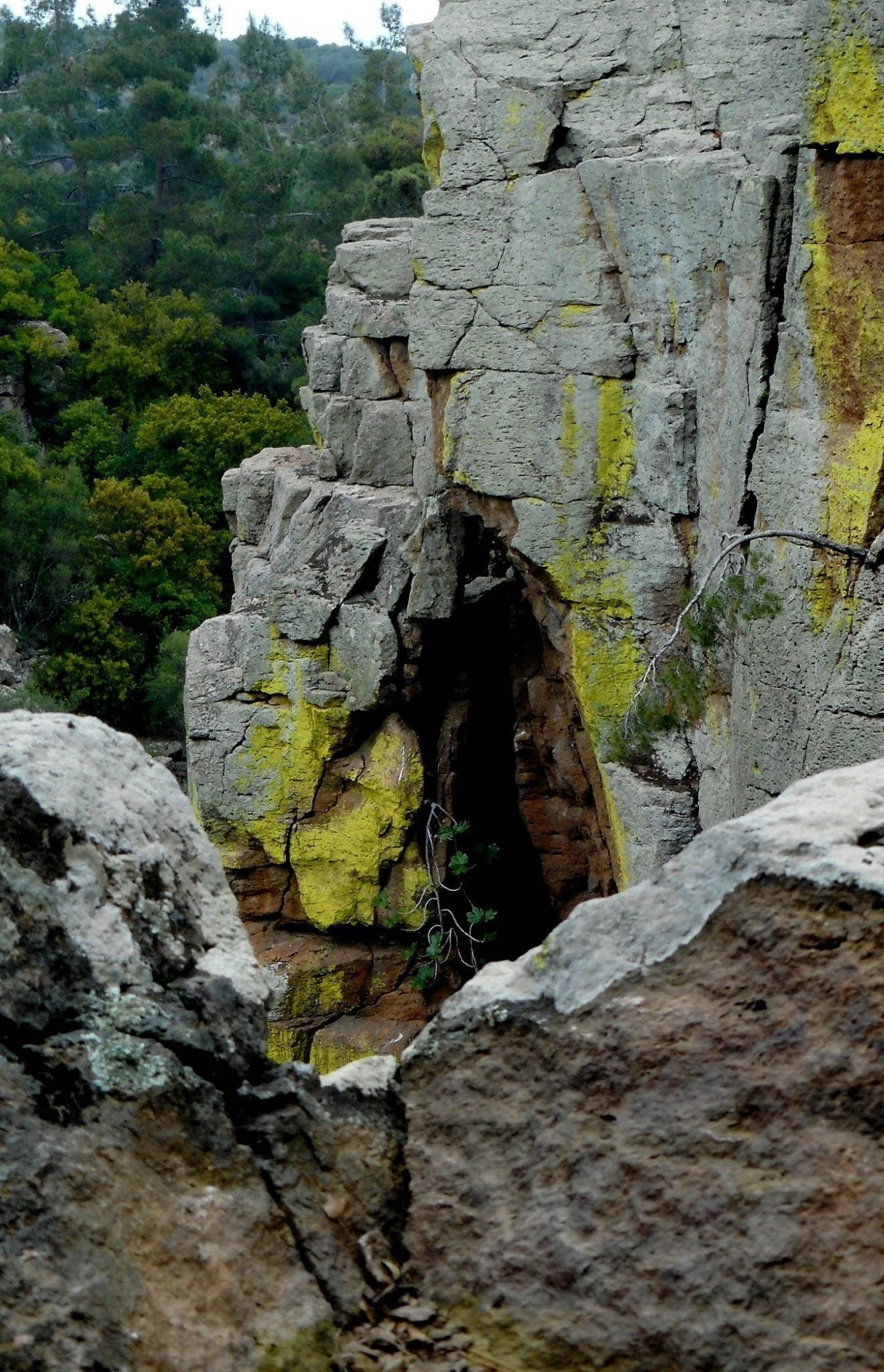
Tsichliontas – Petrified Forest Park (Municipal Sector of Eressos-Antissa). The Petrified Forest Park is connected to the Valley of the Tsichliontas River through a 2.75 km footpath. The gradient between the lowest and the highest point of the trail is about 220 m. It is advisable to start from the Valley of the Tsichliontas River towards the Petrified Forest Park, following a steady uphill course. If you follow the opposite direction, although there are poles every 500 m to guide hikers, you run the risk of not finding the single passage leading from one side of the stream to the other, due to dense riverside vegetation, in which case one might be obliged to turn back.
Potamia – Parakoila (Municipal Sector of Kalloni). From the turn-off point to Vatoussa and Pterounta, 3 km from the hamlet of Anemotia, starts the trail which follows a dirt road and ends after 12.6 km at the hamlet of Parakoila. At first, the course goes uphill through interesting geological formations and crosses the only black pinewood on the island. After 4.45 km, it reaches its highest point at 619 m., where hikers can enjoy the view over Potamia valley and the Bay of Kalloni. The trail goes on downhill through dense pine vegetation and, after deviating for 4.25 km from the dirt road, it reaches a small park with a resting area. The church of “Zoodochos Pigi” is also found there. From this point on, the trail follows the dirt road once again, through olive groves, and reaches the hamlet of Parakoila after 3.9 km. The gradient between the lowest and the highest point of the trail is about 593 m. It is hard to follow the entire uphill trail, so it is advisable to follow the downhill course, but only if hikers are exceptionally fit.
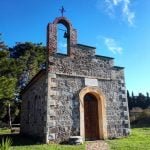
Thermes Piges (thermal springs) – Damandrios Monastery – Thermes Piges (Municipality of Polychnitos). The trail is about 8 km long and begins at Thermes Piges, just outside the hamlet of Polichnitos. It follows a circular course and comes back to its starting point. If you follow the reverse course, the trail starts at a cobblestone path, slightly uphill. After 3.6 km, it reaches its highest point at 260m, at the location of St. George’s church. Going downhill to the north through olive trees, hikers reach Damandrios Monastery, built in the 12th century with excellent wall paintings. From then on, following the public road, hikers continue downhill through olive groves and fields, and end up again at Thermes Piges, where it started from, for a relaxing thermal bath after the hike. The gradient between the lowest and the highest point of the trail is about 200 m. It is an easy trail that can be followed in either direction any time of the year.
Kato Chorio – Kournela (Municipal Sector of Plomari). The trail starts at the hamlet of Kato Chorio and ends at the hamlet of Kournela after 5.6 km. It is a trail of varying difficulty through vegetation: it goes uphill for 3.3 km, reaching its highest point at 545m, at the church of St. Irini; then the course continues steadily downhill through oak trees to reach the hamlet of Kournela. The gradient between the lowest and the highest point of the trail is about 385 m.
Kato Chorio – Plomari (Municipal Sector of Plomari). This trail is 1.5 km long and connects the hamlet of Kato Chorio to Plomari. It is versatile with uphill and downhill segments, passing through rich vegetation. It is ideal for hikers seeking a nice walk in the countryside any time of the year. The gradient between the lowest and the highest point of the trail is only 100 m., and hikers can choose where they would like to start from.
Plakados – Paliokastro (Municipal Sector of Gera). The trail begins from the hamlet of Plakados and, after a 3 km course through olive groves, ends at Paliokastro hilltop, at an altitude of 400 m. The first section of the trail (1.7 km) to Skarlatos fountain is level, but the remaining rocky section to the Paliokastro hilltop is very steep. The course affords an impressive view over the bay of Gera, especially along the second section, but hikers need to be really fit. The gradient between the lowest and the highest point of the trail is 365 m.
Paliokastro – Palaiokipos (Municipal Sector of Gera). This trail is about 2.8 km long; it starts at Paliokastro hilltop at 400 m above sea level and ends at the hamlet of Palaiokipos. This trail basically continues from where the previous one ends. This one follows smoother slopes, passing through olive groves, but it is still demanding and hikers need to be fit, especially for the uphill part of the course. The gradient between the lowest and the highest point of the trail is 325 m. It is advisable to begin at the hamlet of Plakados in the direction of Paliokastro hilltop and end at the hamlet of Palaiokipos.
Olympos peak – Agiassos (Municipal Sector of Agiassos). The trail starts at the rocky peak of Olympos with a magnificent view over chestnut woods. The course is 4.2 km long and, after passing the fountain of Kadis, it ends at the traditional hamlet of Agiassos. It is a steep trail through dense vegetation of olive, oak, chestnut, walnut and pine trees, which is rare for the Greek islands. It requires top physical fitness, especially for the uphill part. The gradient between the lowest and the highest point of the trail is 550 m., and it is advisable to choose the downhill course.
Agiassos – Asomatos (Municipal Sector of Agiassos). This trail is 3.25 km long and connects the hamlet of Agiassos to the one of Asomatos. The first section (1.5 km) is rather level compared to the remaining section, near the hamlet of Asomatos, which is steep. The course runs through dense vegetation of oak, pine and olive trees, and requires top physical fitness, especially for the steeper part. The gradient between the lowest and the highest point of the trail is 217 m., but the streams and the cobblestone sections make the experience a very pleasant one. It is advisable to follow the downhill route.
Asomatos – Agioi Anargyroi (Municipal Sector of Evargetoula). From the hamlet of Asomatos, follow a 1.3 km cobblestone footpath to the spectacular location of Agioi Anargyroi. This trail goes through dense vegetation of plane, poplar and cypress trees next to streams of running water. The first 750 m follow a steep downhill course, which then becomes level. The gradient between the lowest and the highest point of the trail is 170 m. It is advisable to start from Asomatos and follow the route to Agioi Anargyroi.
Agios Ioannis Theologos – Kato Tritos (Municipal Sector of Evargetoula). The trail is about 1.3 km long; it starts at the hill of Agios Ioannis Theologos, at an altitude of 218 m, affording an excellent view over the bay of Gera, and it reaches the hamlet of Kato Tritos. It follows a downhill course along the bed of a stream, passing through dense vegetation of plane and olive trees. After 520 m., the footpath joins the dirt road near Foussa cave. The gradient between the lowest and the highest point of the trail is 145 m. It is advisable to follow the downhill route.
Agia Marina – Provasma (Municipal Sector of Mytilini). The trail is about 1.8 km long; it starts after the field of Agia Marina and ends at Provasma location, in the mountain massif of Amali. The first part is a bit anticlimatic, but it soon gets interesting and crosses over a wooden bridge. For the next 15 minutes, hikers follow a rather steady course through pine trees, before arriving at a resting area. From this point on, and for about 10 minutes, the trail goes uphill; it is not very steep, and reaches a little bridge at an altitude of 226 m. Then the trail becomes steep, narrow, and demanding; only fit hikers should attempt it. Going uphill is rather hard for about 40 minutes, but ends at a location affording a spectacular view, at an altitude of 373 m. Hikers will be compensated by the resting cabin. The gradient between the lowest and the highest point of the trail is 215 m., and it is advisable to choose the downhill course, since the terrain relief becomes more interesting as you get from the highest at 373 m to the lowest point at 158 m.
Komi – Tavros Plateau (Municipal Sector of Thermi). The trail begins at the hamlet of Komi and, after a hike of 5.25 km., it ends at the remote plateau of Tavros, at an altitude of 320 m. The trail goes uphill through a pinewood, but also passes through arid and rocky areas, and provides the hiker with points affording exceptional views. At a distance of 3.2 km from the plateau of Komi, the hiker arrives to the junction that leads to Agios Charalambos. The maximum gradient of the trail is 210 m and it is advisable to follow this trail only if you are physically fit.
Pigi – Paliohori (Municipal Sector of Thermi). The trail is about 2 km long; it starts from the hamlet of Pigi and ends at Paliohori. It is a paved trail of exceptional natural beauty with lush vegetation and altitude variations, at times passing through a dry riverbed. Maximmu gradient is just 80 m. It is ideal for hikers seeking a nice walk in the countryside and one can choose where they would like to start from.
Agia Paraskevi – Kremasti Bridge (Municipal Sector of Agia Paraskevi). The trail starts just outside the hamlet of Agia Paraskevi and goes through olive groves and wicker bushes. The rock bridge of Kremasti, built at the time of the Gatelouzzi spans the river Tsiknias, at a distance of 4.3 km from Agia Paraskevi. The trail follows a smooth path, alternating slightly in altitude. Maximum gradient is just 72 m, making it an easy trail for hikers, particularly in the spring or autumn.
Trail to Iero Klopedis (Municipal Sector of Agia Paraskevi). The dependency of the Holy Monastery of Taxiarches is one of two starting points of the 2.75 km trail which meets the trail from Agia Parskevi on the way to Kremasti (suspended) bridge. The trail passes through the archeological site of Klopedi, situated next to Taxiarhis Church, with its aeolic pillar capitals, and continues towards Prini bridge. The trail follows a rural road and it is easy for any hiker, since maximum gradient is just 66m.


